
The Virtual Illés Initiative
Andrew Yip,Maryvelma O'Neil
2023년 3월 25일
32
조회수
0
리뷰 수
0+
추정 판매량
N/A
긍정 평가
게임 정보
| 출시일: | 2023년 3월 25일 |
| 개발사: | Andrew Yip,Maryvelma O'Neil |
| 퍼블리셔: | ARCH Jerusalem,Andrew Yip |
| 플랫폼: | Windows |
| 출시 가격: | 무료 |
| 장르: | 캐주얼, 교육 |

업적 목록
업적 정보가 없습니다.
추천 게임


게임 소개
The Virtual Illés Initiative is an educational application that reconstructs models and archival materials within an interactive 3D map of Jerusalem.
상세 설명
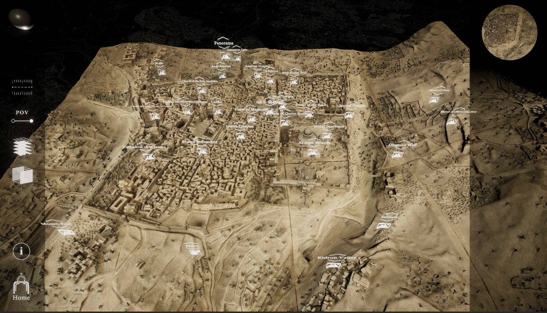
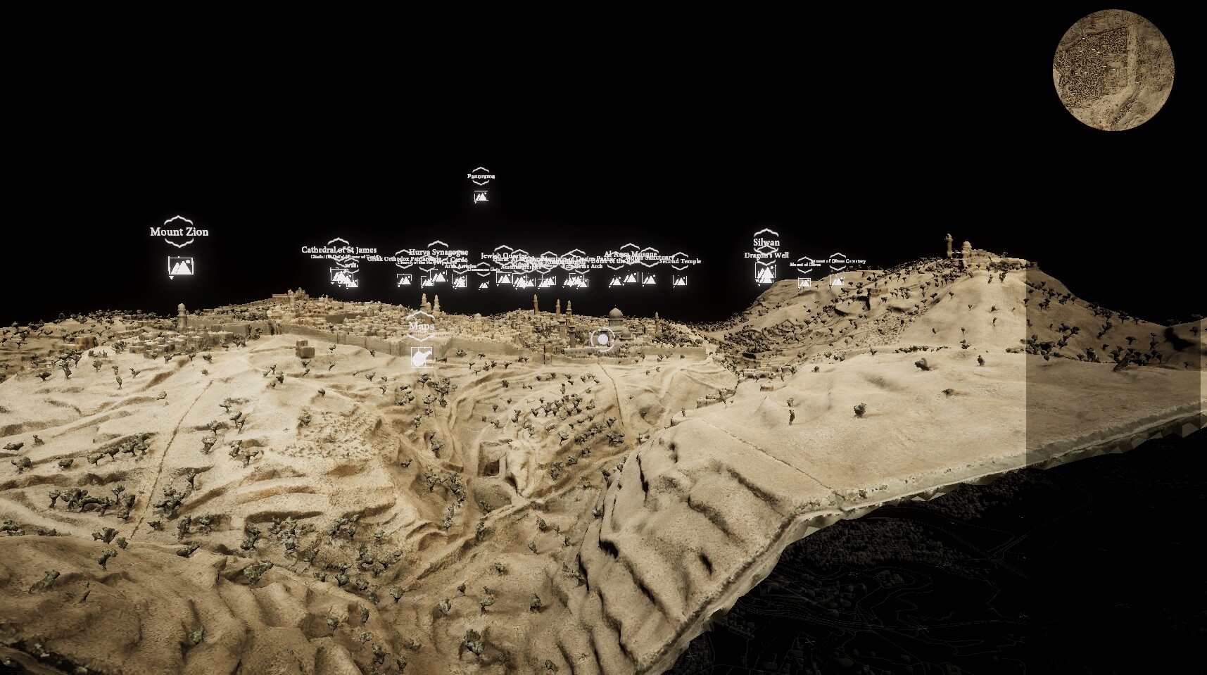
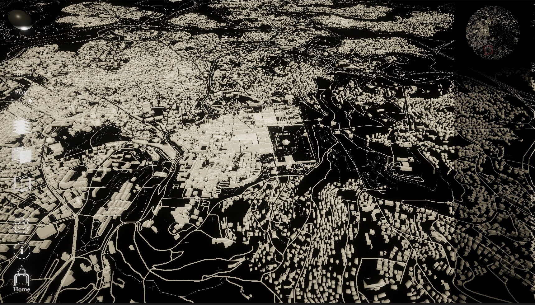
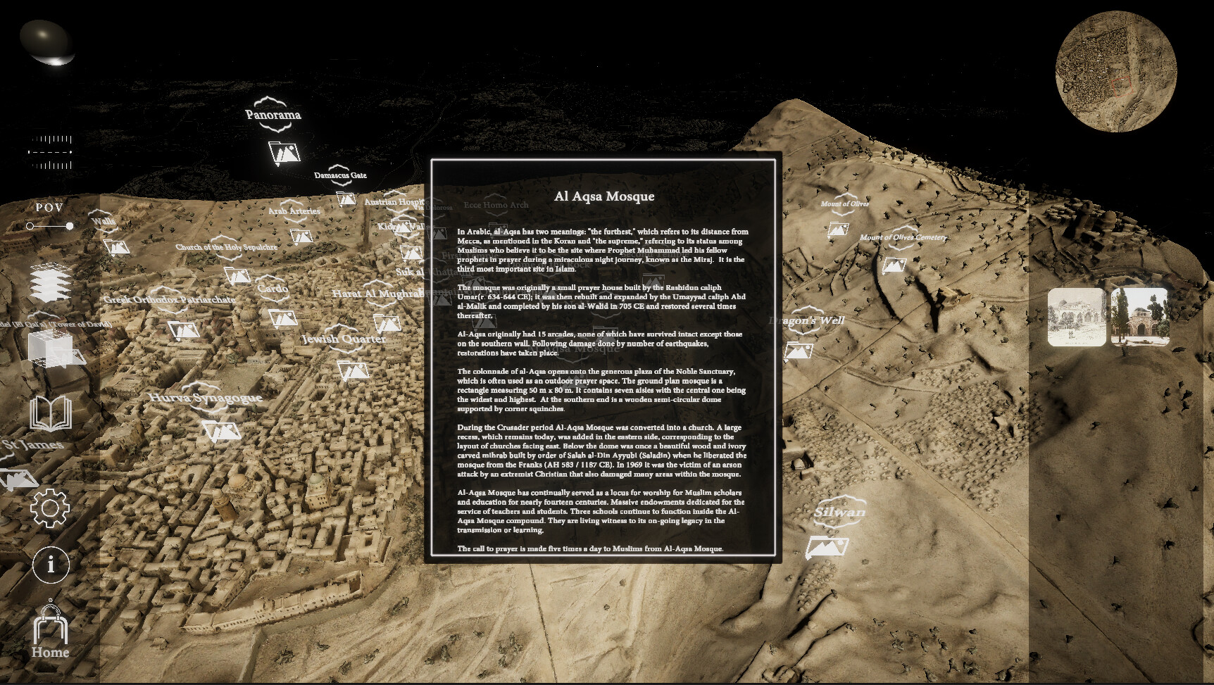
The Virtual Illés Initiative is an interactive and immersive reconstruction of The Illés Relief (1873), a remarkable miniature model that depicts the Old City of Jerusalem and the developing New City at the time of its fabrication. It is a pioneering digital humanities project that aims to complete historic records of 19th century Jerusalem within an interactive virtual environment.
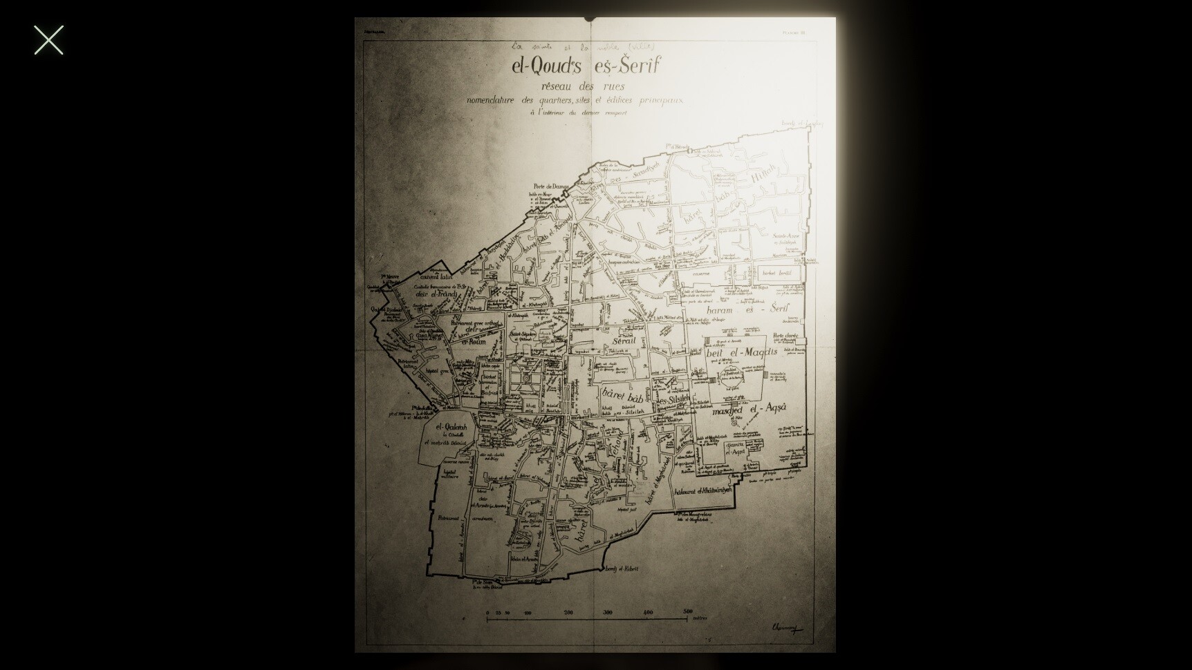
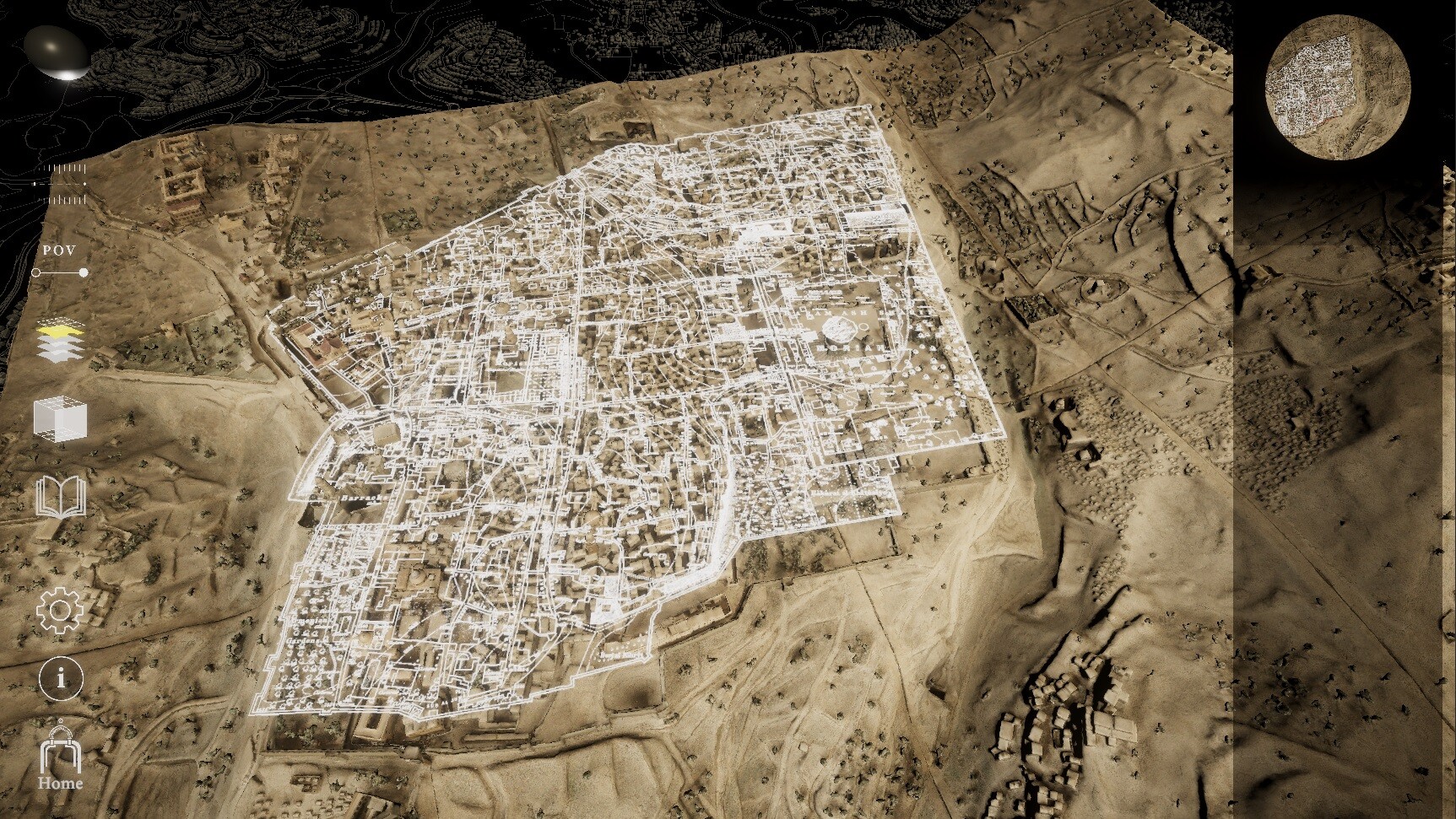
The Virtual Illés Initiative is a bespoke mapping system that features a range of modular interactive tools, such as historical map overlays, interactive archival materials and 3D models, immersive GIS mappings, real time lighting and more.
It is an evolving collaborative project and we welcome contributions from scholars, researchers, students and citizens. We invite you to contribute new documentation and artifacts, other elements of intangible culture, personal glimpses of the living city and memorabilia including diaries, letters, memoirs, and photographs. These contributions will be used to annotate and animate the relief, and to challenge conventional historiographical views of Jerusalem.
Please contact us via the project website for details on how to contribute.
스크린샷


접속자 수
가격 정보
업적 목록
업적 정보가 없습니다.
요약 정보
스팀 리뷰
스팀 리뷰가 존재하지 않습니다.